Unveiling AlphaEarth: The Game-Changer in Satellite Imagery
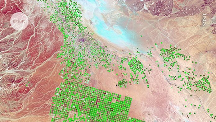
Google’s latest AI model, AlphaEarth Foundations, is transforming how we observe our planet. This innovative technology synthesizes satellite images, radar, and other data types to provide an unprecedented view of global land and shallow water changes.
Key Features:
- Comprehensive Mapping: Offers detailed insight “at any place and time.”
- Applications Across Fields: Utilized for clean-energy projects, climate impact studies, and deforestation tracking.
- Efficiency Gains: Reduces processing time and energy consumption compared to previous models.
Researchers express excitement over AlphaEarth’s potential but note the need for individual verification of data. Regular updates from Google will keep the datasets fresh and integrated through the Earth Engine platform.
Join the conversation on how this technology can reshape environmental research and drive sustainable practices.
👉 Like and share this post to spread the word about AlphaEarth and its promising impact!
