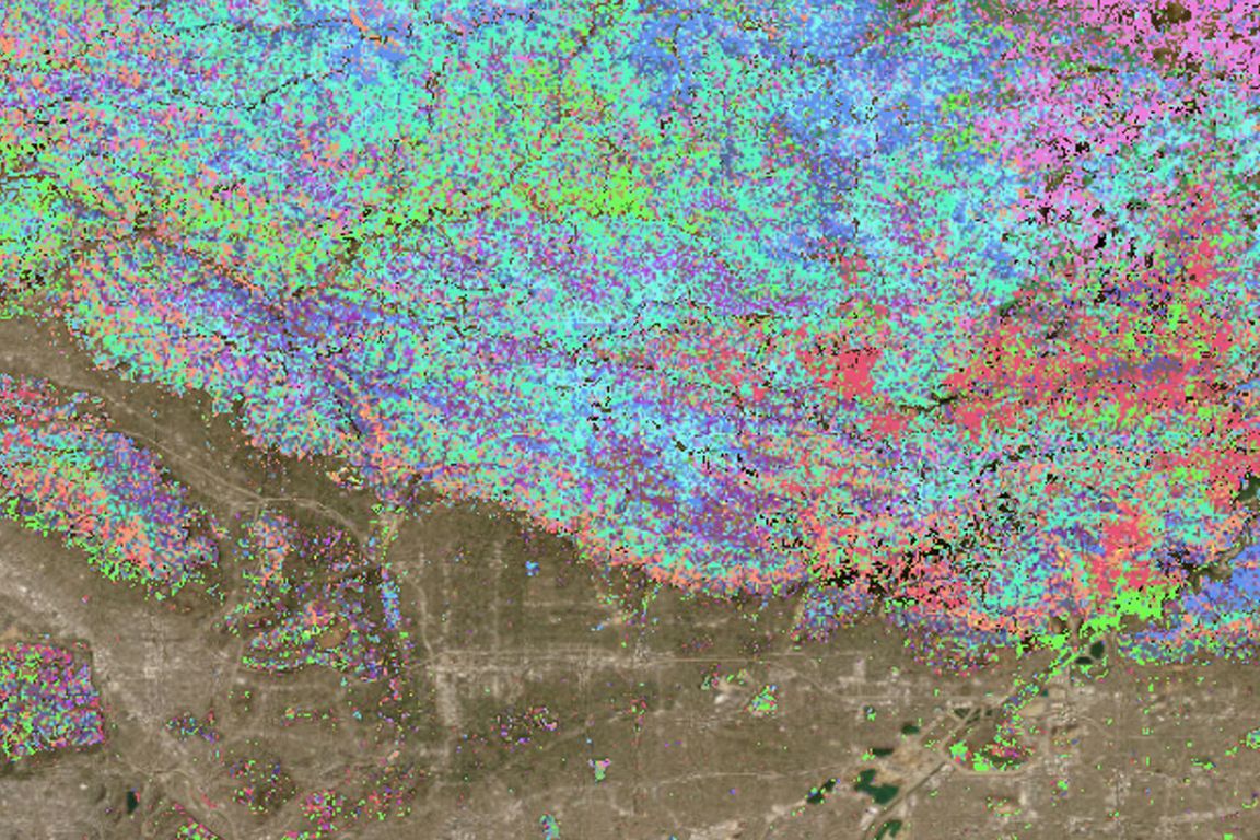
Researchers at UCLA Samueli School of Engineering have launched FuelVision, an innovative AI-driven tool designed to enhance wildfire preparedness nationwide. By combining satellite imagery with advanced algorithms, FuelVision accurately maps wildfire fuel sources, achieving 77% accuracy in validation tests using data from California’s 2021 Dixie and Caldor wildfires. Unlike traditional models that depend on expert analysis and ground surveys, FuelVision operates autonomously, utilizing global satellite data, making it adaptable to forested areas across the country.
The system empowers local agencies and global researchers to access vital wildfire risk information quickly, enabling smarter emergency responses. A user-friendly Python interface will allow individuals with basic coding skills to generate their own fuel maps, while also offering on-demand map production. Funded by the National Science Foundation and other collaborators, FuelVision represents a significant advancement in fire mitigation strategies, improving both immediate emergency responses and long-term risk assessment.
Source link
